Discover Oman: A Land of Adventure
If you are planning your next Oman travel adventure, a reliable Oman maps is your best companion. Oman, on the southeastern edge of the Arabian Peninsula, is a country of contrasts: golden deserts, lush green valleys, majestic mountains, and pristine coastlines.
Bordered by Saudi Arabia, Yemen, and the UAE, Oman has always been a hub for trade and culture. Its unique geography makes it one of the most captivating Oman tourism destinations for travelers worldwide.
Why You Need Maps for Oman Travel

A detailed Oman maps does more than show roads—it helps you truly experience the country. Whether you’re driving across the Empty Quarter desert, hiking the Al Hajar Mountains, or exploring Muscat’s vibrant streets, maps unlock the full beauty of Oman attractions.
Road Maps:
Perfect for planning scenic drives across deserts, mountains, and coastal highways
Political Maps:
Understand Oman’s 11 governorates and historical cities
Physical & Topographical Maps:
Explore the Al Hajar Mountains, Rub’ al Khali desert, and Dhofar’s
Satellite Maps:
Get a bird’s-eye view of Muscat, Salalah, and hidden wadis
Historical Maps:
Discover Oman’s past through trade routes and ancient borders
Oman Attractions You Can’t Miss on the Map
Travelers use maps not only to navigate but to spot Oman’s top attractions. Here are highlights you can’t
Muscat:
The capital city, home to the Sultan Qaboos Grand Mosque and Muttrah Corniche
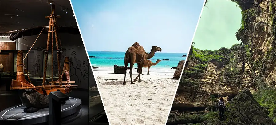
Salalahs:
Famous for the Khareef monsoon, turning deserts into lush green landscapes
Nizwa:
The cultural heart of Oman, known for its historic fort and traditional souk
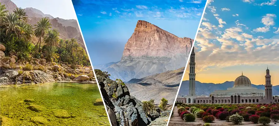
Jebel Akhdar & Wadi Shab:
Mountain escapes perfect for hiking and nature lovers
Bimmah Sinkhole:
A natural wonder with crystal-clear waters
Every Oman attraction can be located using Google Maps or detailed tourist maps, helping travelers craft unforgettable itineraries.
Planning Your Oman Road Trip
Maps are the backbone of every Oman road trip. They help you:
Plan routes between cities like Muscat, Nizwa, and Sur.
Identify hotels and attractions along the way.
Check traffic with real-time updates on Google Maps.
Use offline printable Oman maps when exploring remote deserts and mountain trails.
With the right mix of digital and printed maps, your Oman travel experience will be smoother and more enjoyable.

Printable Oman Maps for Travelers

For adventurers heading into areas with limited internet, printable Oman maps are essential. You can:
Download free maps from official Oman tourism websites.
Create custom maps from Google Maps screenshots.
Buy detailed atlases or updated travel maps once in Oman.
This ensures that whether you’re hiking wadis, crossing deserts, or driving coastal roads, you’ll never lose your way.
Conclusion: Start Your Oman Adventure Today
Exploring Oman is about more than just seeing places—it’s about experiencing a country shaped by mountains, deserts, and seas. With the right Oman maps, your journey will be stress-free and unforgettable.
From Oman road trips to discovering Oman attractions in Muscat, Salalah, or Nizwa, maps are your ultimate guide.
Ready to begin your Oman travel story? Start planning today—download your Oman maps, mark your destinations, and let Oman’s beauty surprise you at every turn.